
On a recent visit to Kingston, Ontario, I was wandering up Ontario Street and decided to take a picture of what used to be a building between Earl Street and William Street. After doing extensive research and finding nothing in the history sites of Kingston, I think I’ve figured out it was either a shed, or more likely a stable that was demolished sometime around 1953. It could have been a house or maybe servant’s quarters, but it wouldn’t have had road frontage. I found a map that dates back to 1865, with a slider that morphs the map up to 2013. Now, the wall faces a parking lot behind the houses on the two above-mentioned parallel streets. Here’s the map: https://apps.cityofkingston.ca/snapshotkingston/ It’s actually really really neat. I found the streets by their names in the 1865 version of the map. Grab the map and move it right and up slightly, so you’re moving south west – the block you’re looking for is right at the letter “A” in “ONTARIO.” (Note: Ontario Street runs parallel, and closest, to the water.) You can zoom in once you find the right block (the +/- button is at the top left of the map). You can see the building there before 1953, but it disappears at about ’53 and then shortly after, the wall appears as a white line in the middle of the block, running parallel to Ontario Street. It’s the wrong colour to have been the the above-mentioned building, but on close inspection I can’t tell what else it could possibly have been.
I’ve always had an interest in ruins. They cause my imagination to go in both conceivable and inconceivable directions. Next time I’m in Kingston, I plan to visit the library or the town archives to see if there’s any information on what this might have been. In the meantime, I’ll allow my imagination to play.
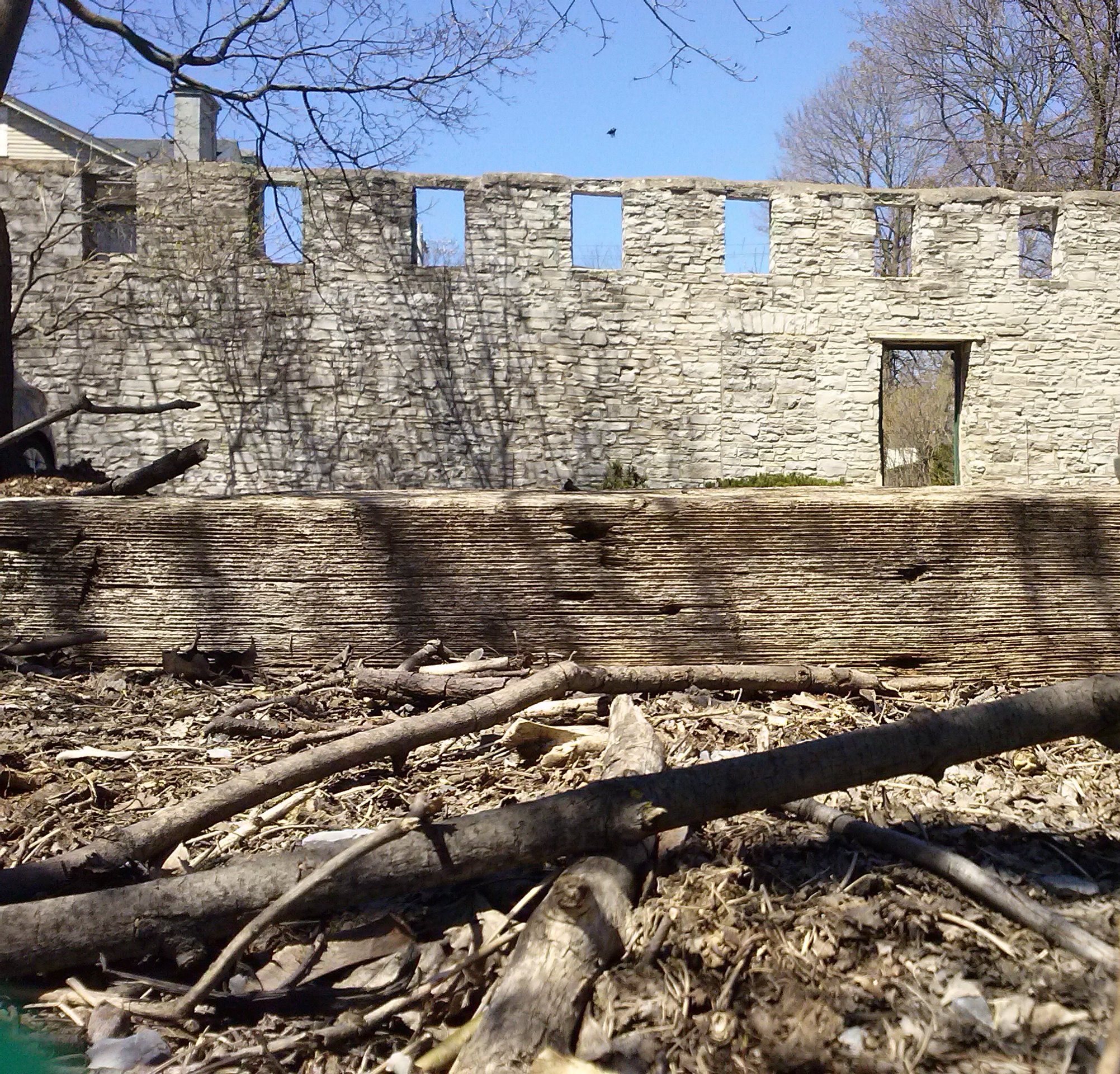
Please forgive the odd angle…
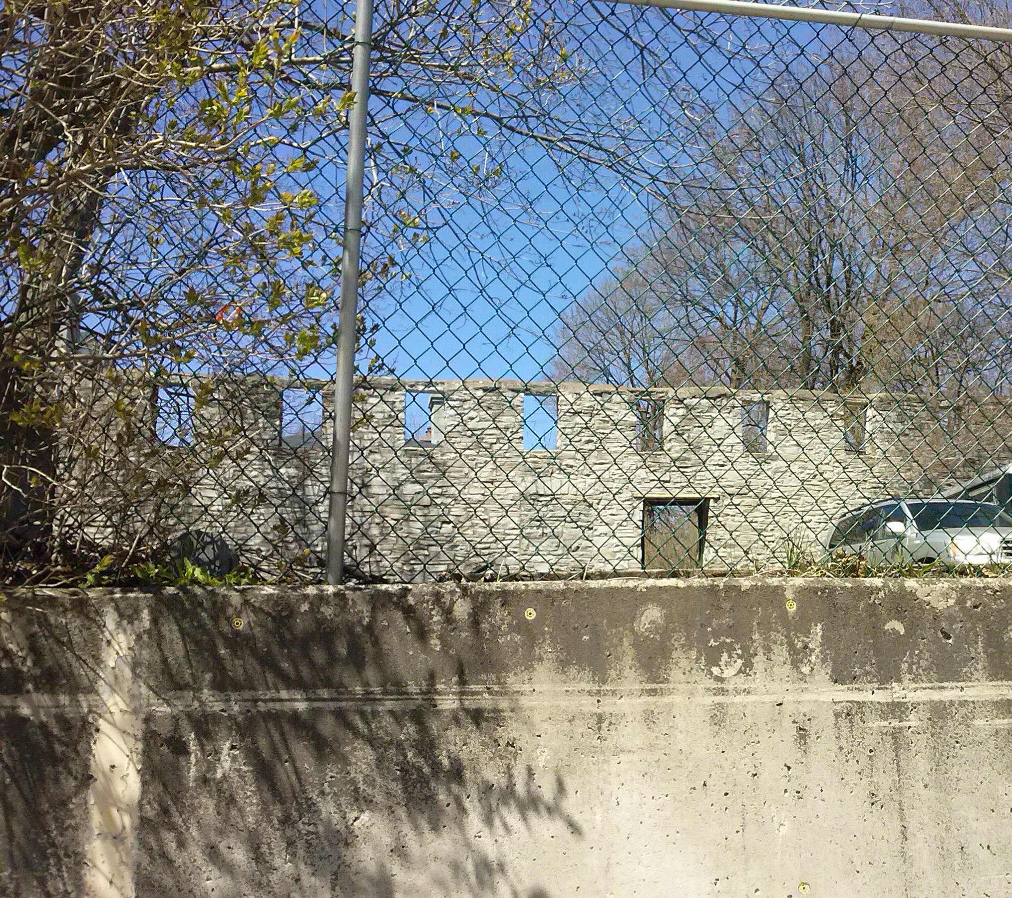
…this was as close as I could get.
I’m so happy and excited to finally be participating in this prompt. Kingston is just a two hour drive from where Norm took his Thursday Doors pictures. Check out his post (by clicking on his name) for the prompt and join in!
