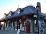
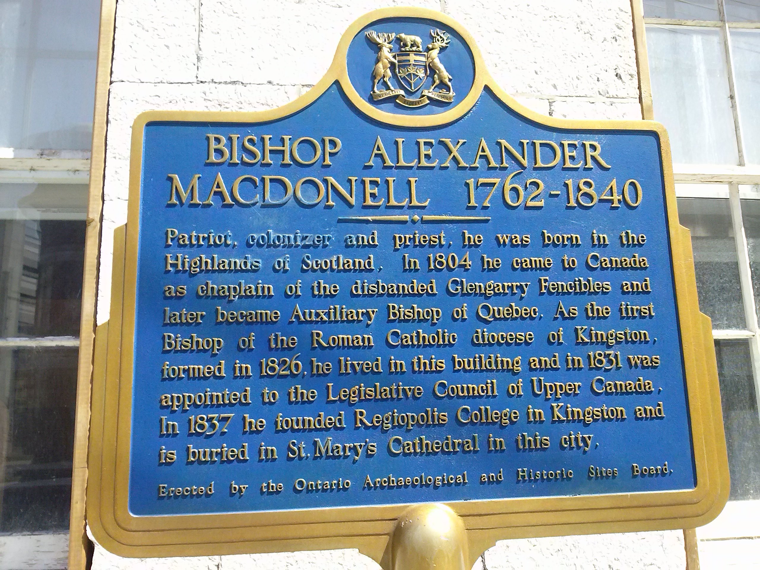
I absolutely adore train stations. I’m not sure why – perhaps I traveled by train often in another life. Anyhow, one of my favourite places to visit (as you may already know) is Kingston, Ontario, and downtown there is an out-of-commission station, now used as a tourist shop and information booth.
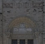
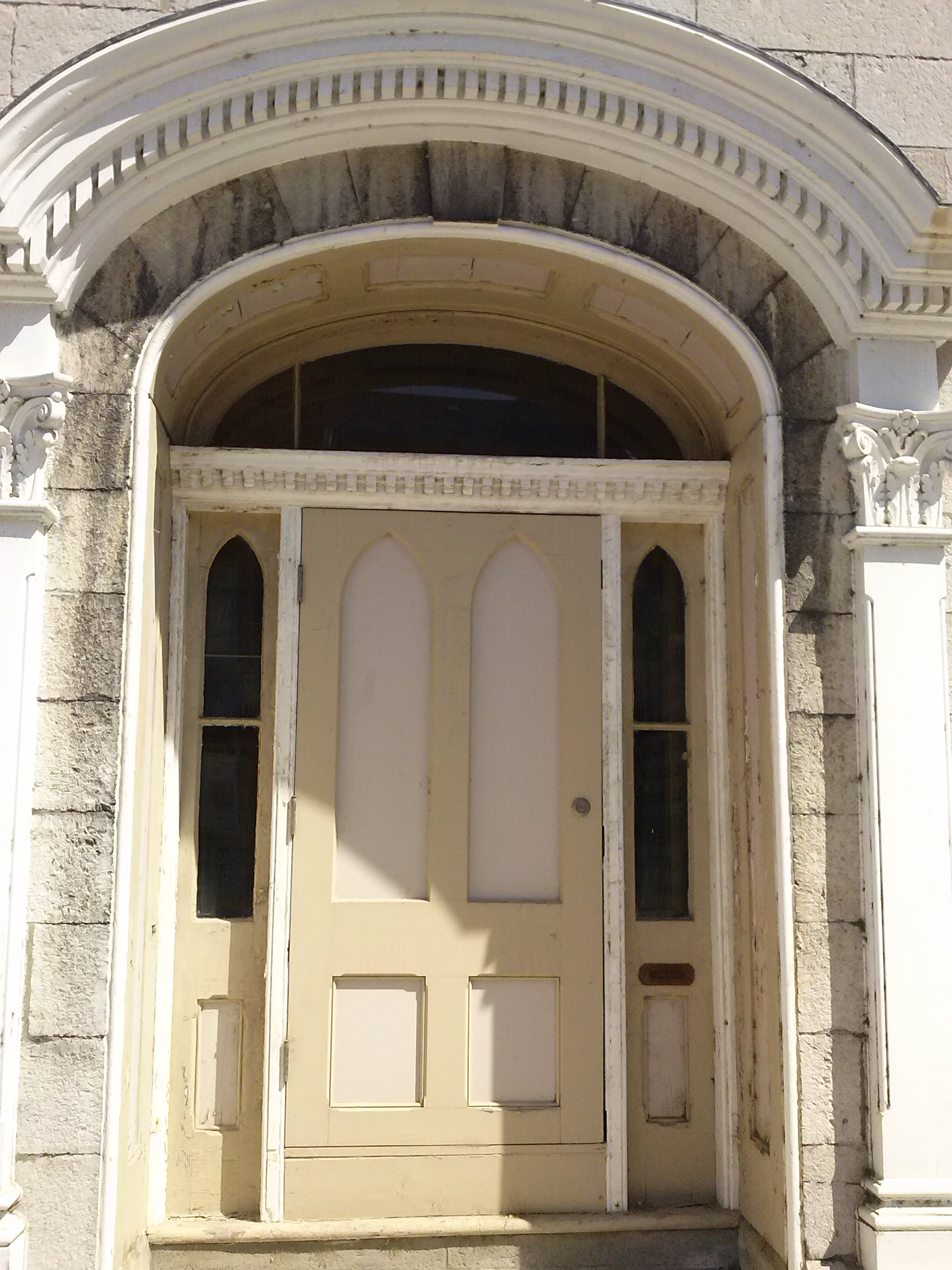
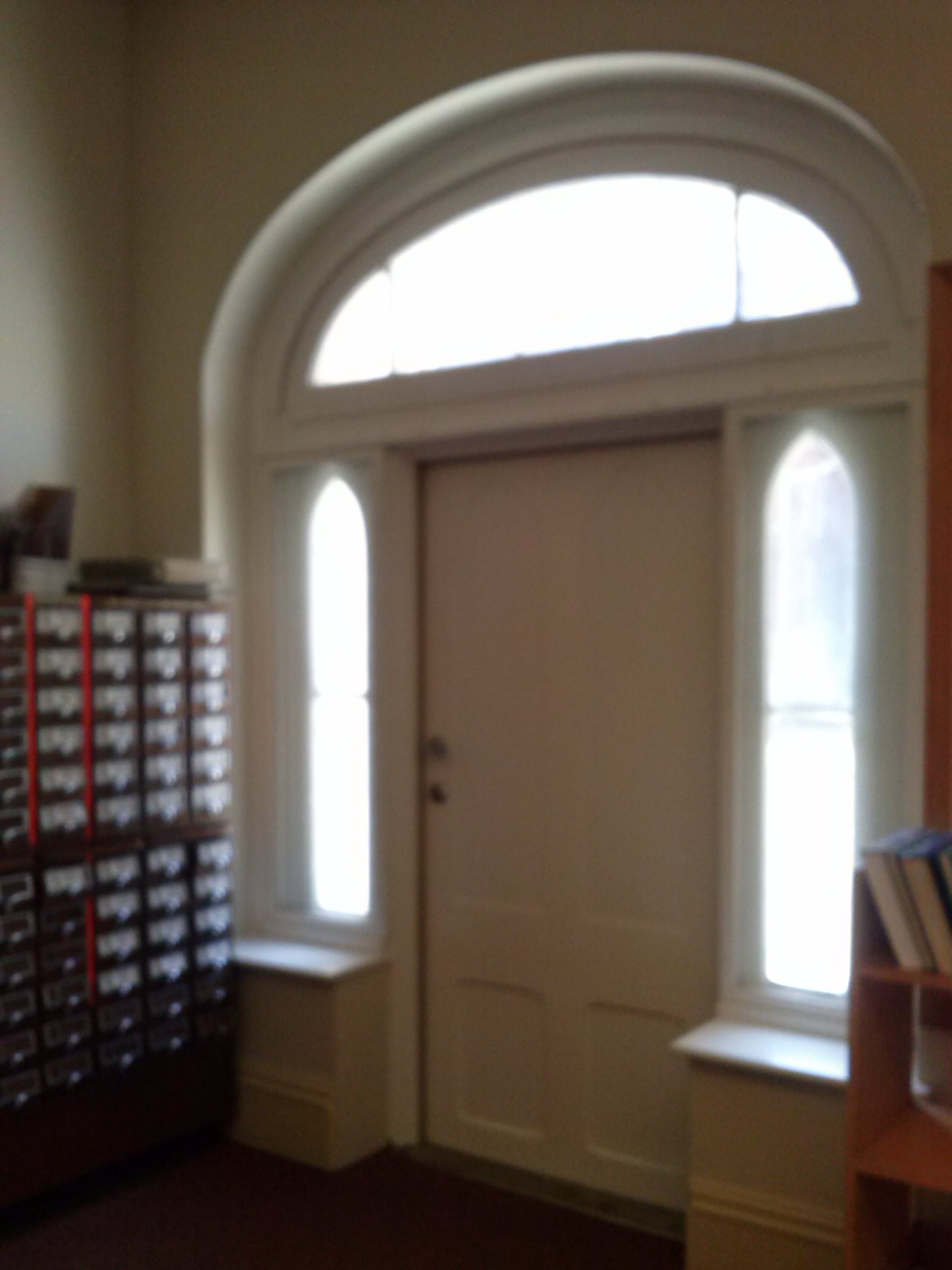
The doors, in my opinion, are spectacular. Please click on the images for a closer look.
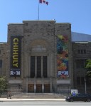
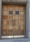
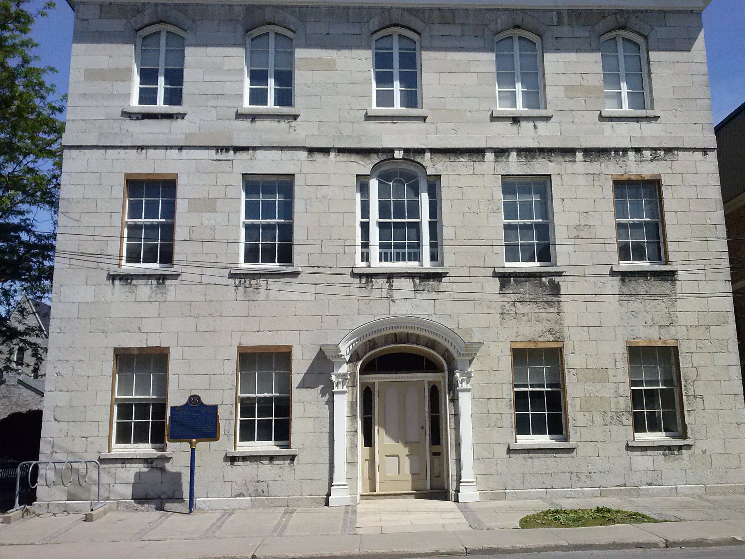
The front of the old Kingston Train Station, located on Ontario Street
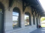
At the back
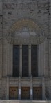
The front door, through which you can see the back door, and vice versa
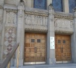
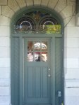
The back door, where the travelers came out to board the train.
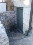
Bonus: a secret side door going into the basement
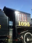
And finally, behind the train station there’s an old engine sitting on an unused length of track. I tried to take a picture of its door, but it’s kind of squashed in where you can’t see it well.
The door
A wider shot
And a wider one yet
Thursday Doors is brought to you by the great Norm Frampton here. Click the link to read the rules and add your own post.
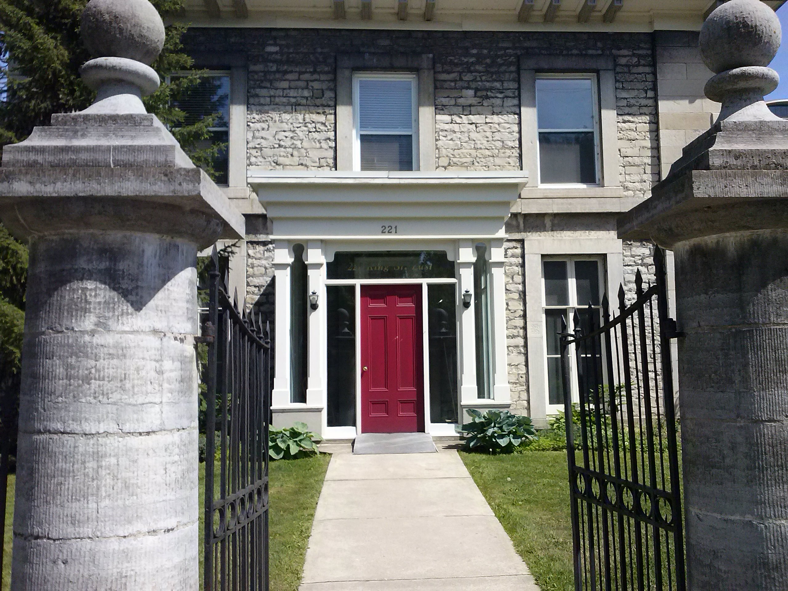
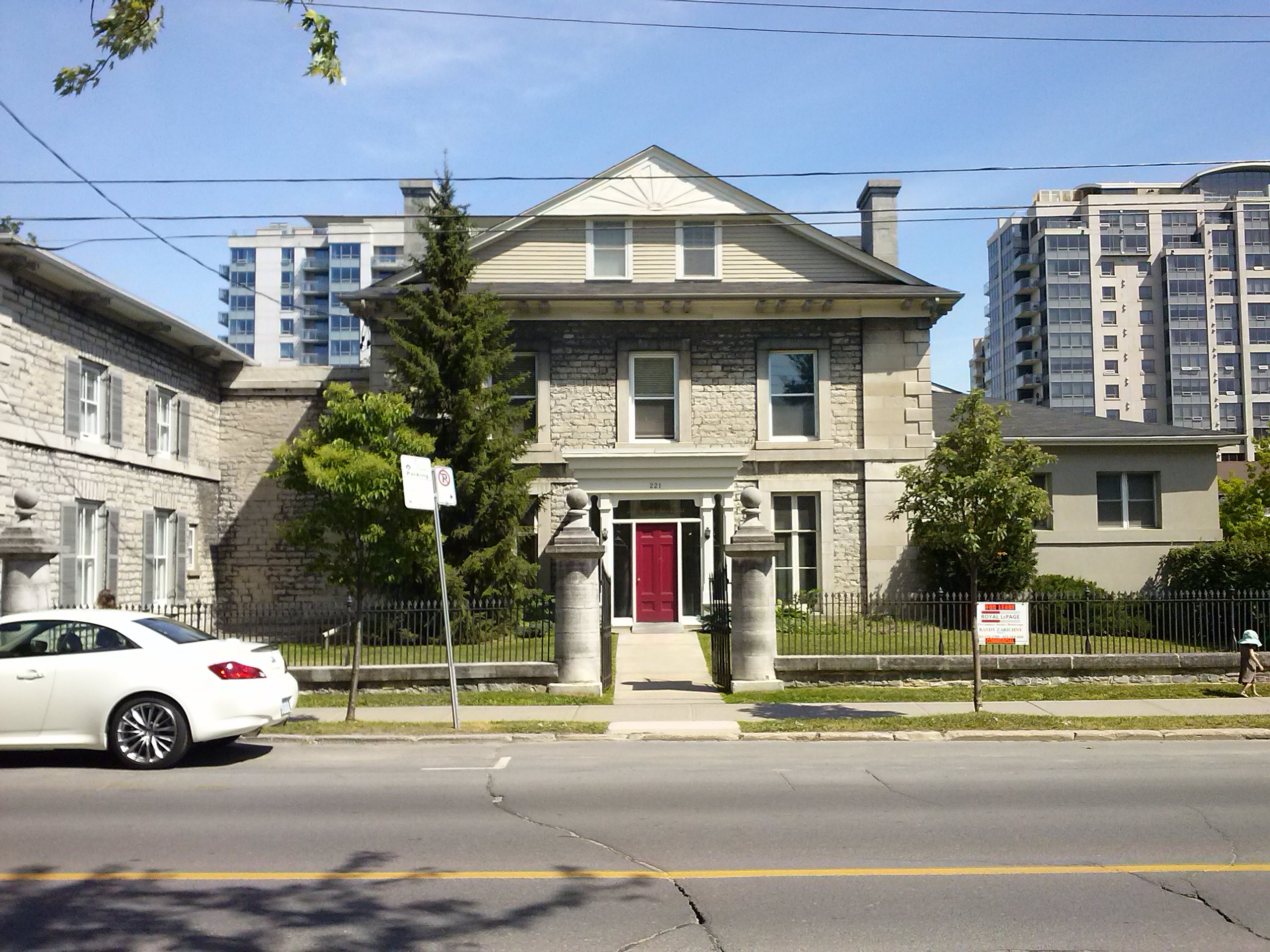
As promised, I did some more research on the wall (with a hole where a door used to be that I discovered on Ontario Street in Kingston), when I was there last weekend. Upon searching the library, I came up with two addresses on the adjacent street: 221 and 223 King Street. I still couldn’t find any information about the wall, except that it seemed to stretch across the back yards of these two homes. So off I walked to check it out. Handily, it was only a couple of minutes from the library.
Here is 221 King Street
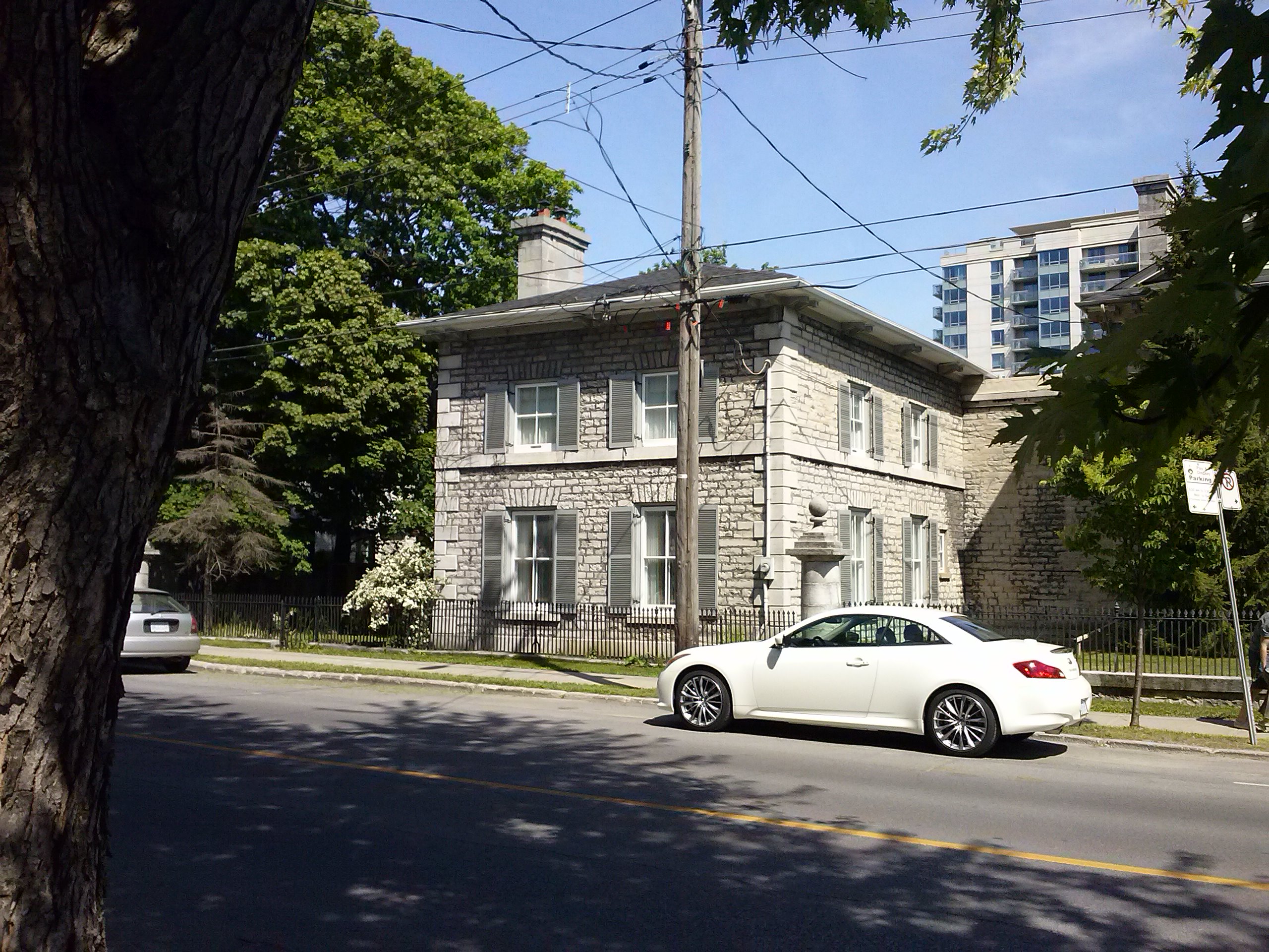
and attached to it is 223 King street.
Here is the wall from both sides,
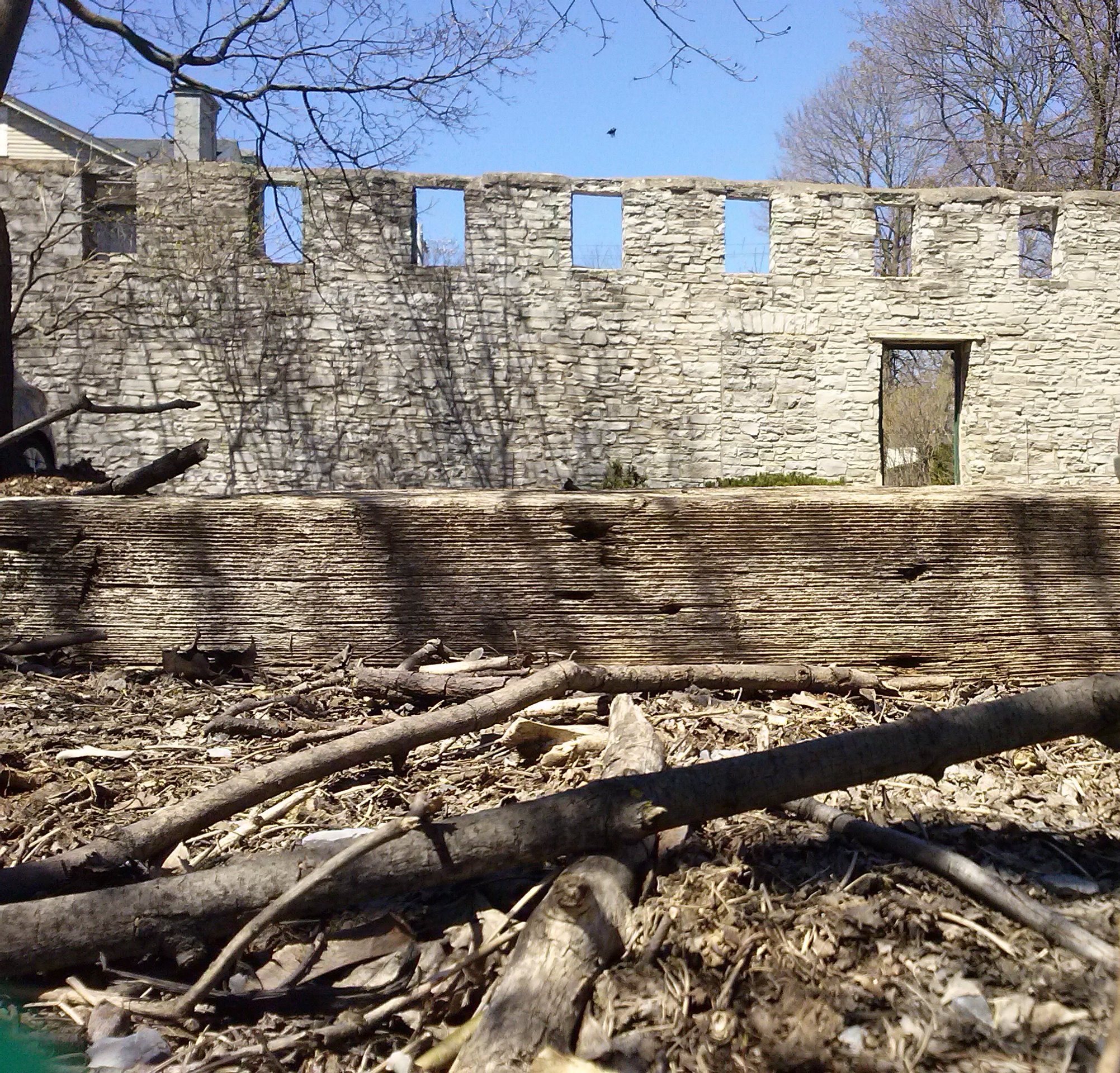
You can see the door at the bottom of the garden, below the branches of the small tree.
and the “front” door of #223.
All this still didn’t give me any clue as to what the wall might have been part of, however. So I came home and did some more research. I came across this site: http://www.historicplaces.ca/en/rep-reg/place-lieu.aspx?id=8265 which goes on to say that #223 was built in 1834 for a lawyer, John Solomon Cartwright as an addition to #221. (If you click the link, you’ll see a much better picture of the wall than mine: in 1991 it had ivy growing on it.) The only real mention of the wall is this:
The property on which the building stands is also of interest, containing a carefully groomed lawn, plentiful gardens and a ten-foot limestone wall at its rear.
which indicates that it might have simply been built as an aesthetic piece. I’ll continue to keep my eyes open; I kind of hope, in some strange way, that it used to be a structure.
This post is part of Thursday Doors, brought to you by Norm at Norm 2.0. Check out his post (by clicking on his name) for the prompt and join in!
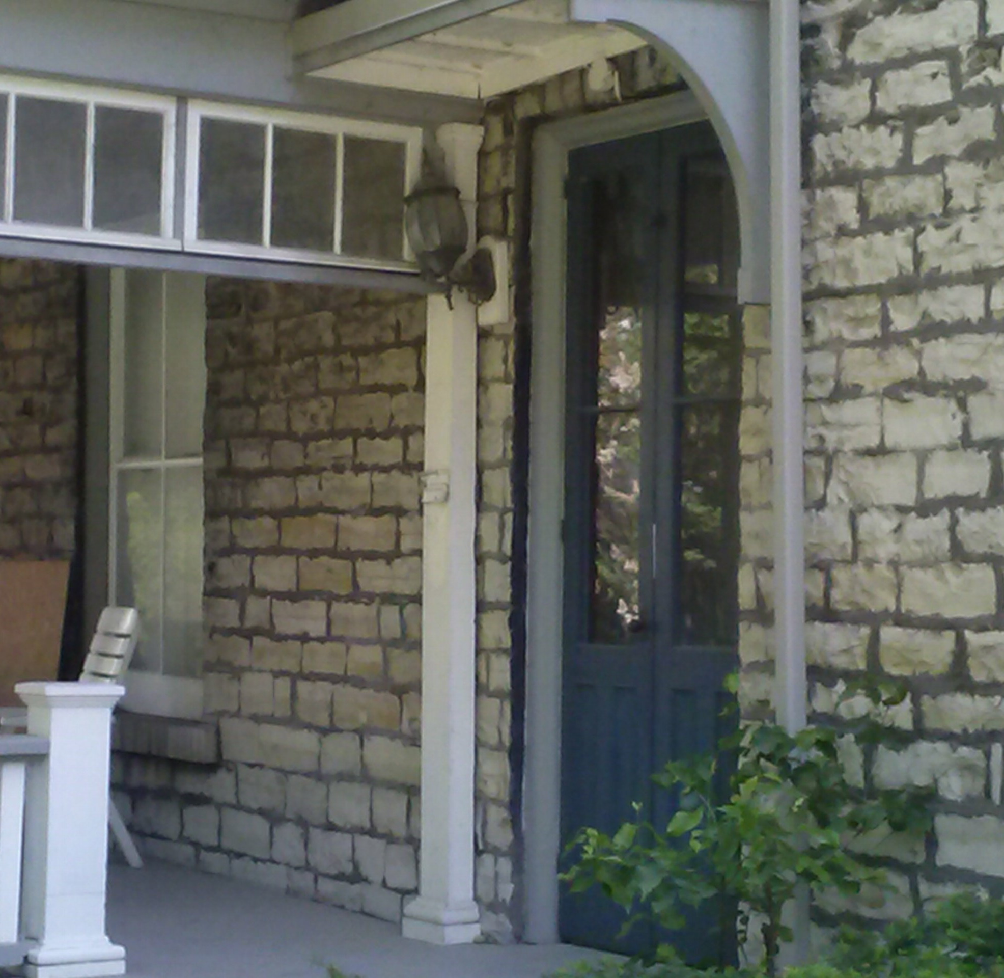
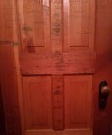
It was 2009 and I’d already decided to buy my house. During the inspection, the real estate agent and I were poking around in all the nooks and crannies when we discovered that the inside of one of the closet doors had been used, for decades, as a place to record the growth of the children who grew up here. Click on the pictures for a closer look.
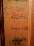
Some of the dates go back to before I was born
This is the oldest one I found. Judging by height, “Peri” was a baby.
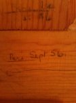
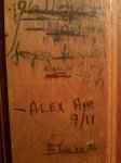
Of course, I had to add my own.
It’s fun to find history displayed in public places. It’s even better when you come across it in your own home.
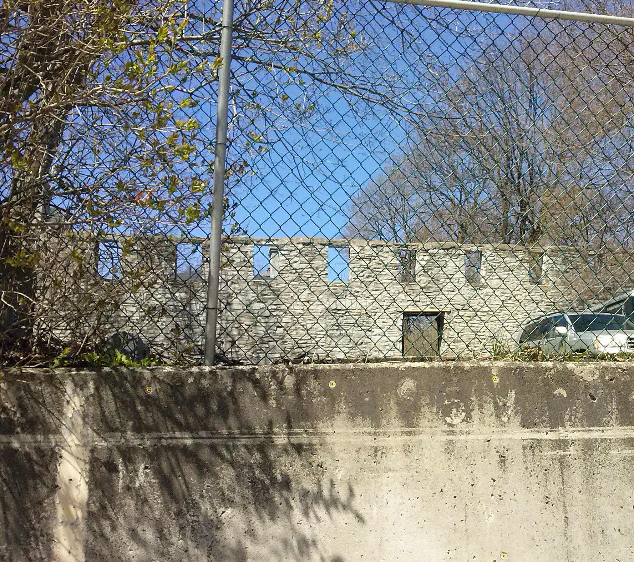
On a recent visit to Kingston, Ontario, I was wandering up Ontario Street and decided to take a picture of what used to be a building between Earl Street and William Street. After doing extensive research and finding nothing in the history sites of Kingston, I think I’ve figured out it was either a shed, or more likely a stable that was demolished sometime around 1953. It could have been a house or maybe servant’s quarters, but it wouldn’t have had road frontage. I found a map that dates back to 1865, with a slider that morphs the map up to 2013. Now, the wall faces a parking lot behind the houses on the two above-mentioned parallel streets. Here’s the map: https://apps.cityofkingston.ca/snapshotkingston/ It’s actually really really neat. I found the streets by their names in the 1865 version of the map. Grab the map and move it right and up slightly, so you’re moving south west – the block you’re looking for is right at the letter “A” in “ONTARIO.” (Note: Ontario Street runs parallel, and closest, to the water.) You can zoom in once you find the right block (the +/- button is at the top left of the map). You can see the building there before 1953, but it disappears at about ’53 and then shortly after, the wall appears as a white line in the middle of the block, running parallel to Ontario Street. It’s the wrong colour to have been the the above-mentioned building, but on close inspection I can’t tell what else it could possibly have been.
I’ve always had an interest in ruins. They cause my imagination to go in both conceivable and inconceivable directions. Next time I’m in Kingston, I plan to visit the library or the town archives to see if there’s any information on what this might have been. In the meantime, I’ll allow my imagination to play.
Please forgive the odd angle…
…this was as close as I could get.
I’m so happy and excited to finally be participating in this prompt. Kingston is just a two hour drive from where Norm took his Thursday Doors pictures. Check out his post (by clicking on his name) for the prompt and join in!